(Note: the introduction page and links to all other pages is here: Wonderland Trail Hike Introduction)
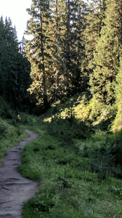
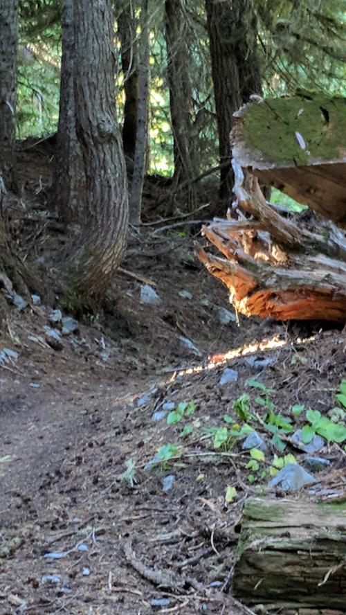
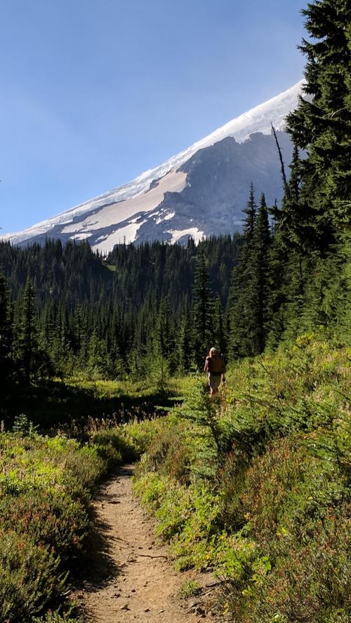
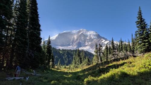
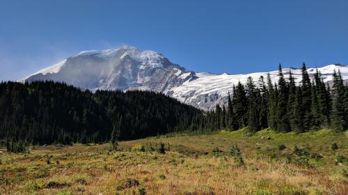
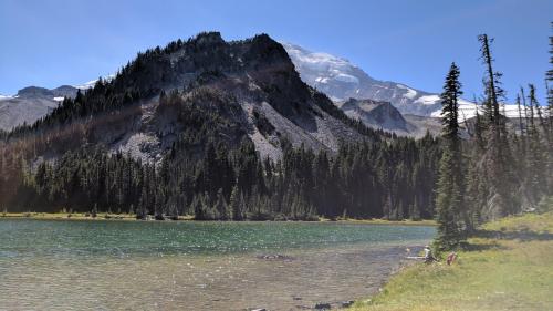
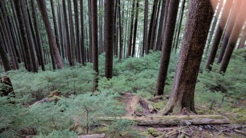
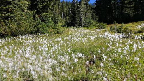
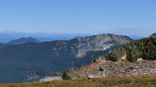
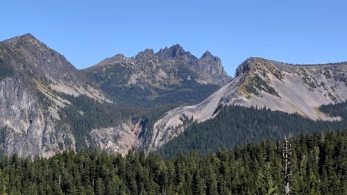
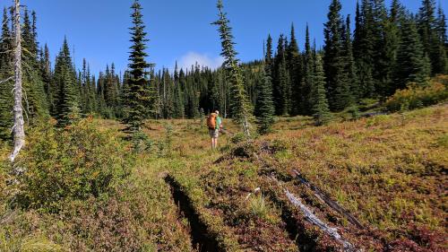
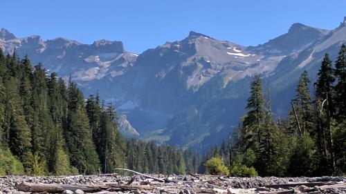
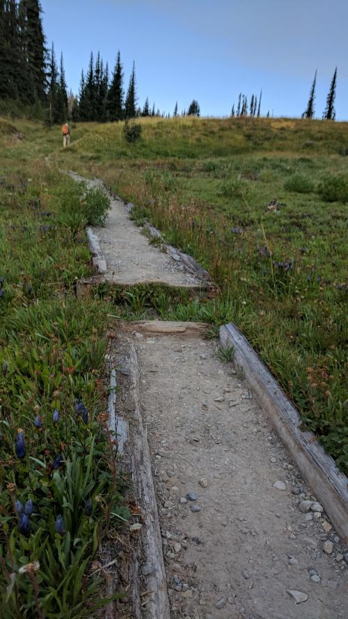
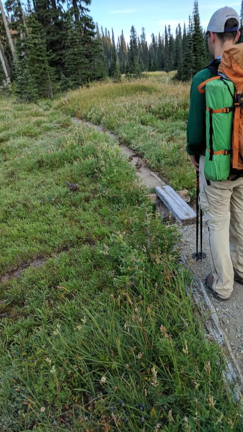
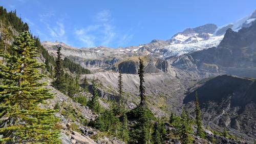
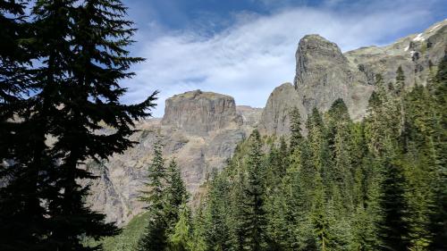
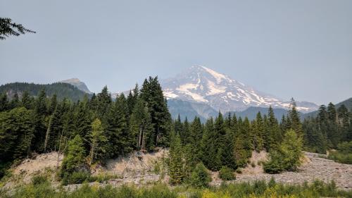
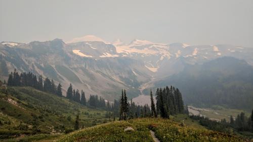
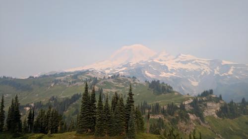
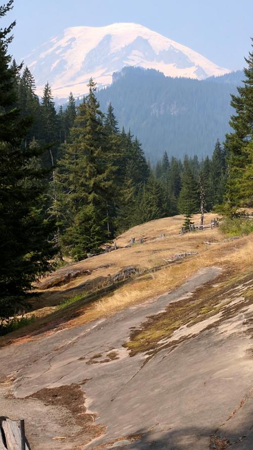
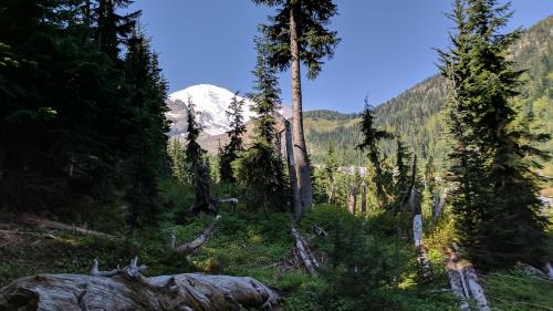
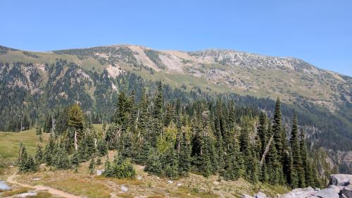
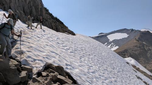
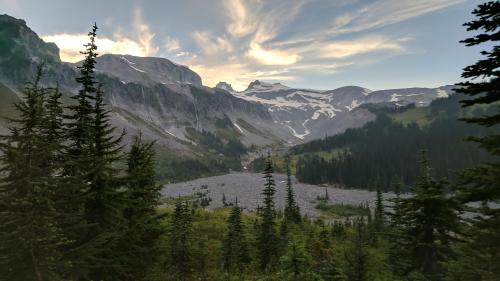
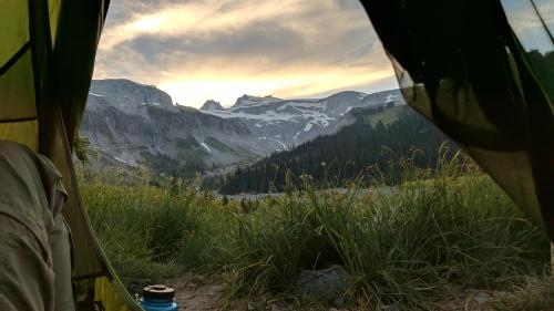
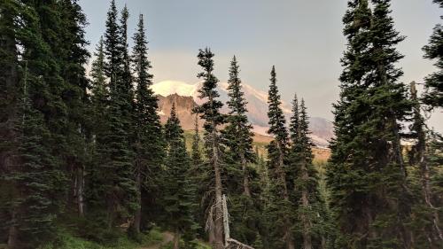
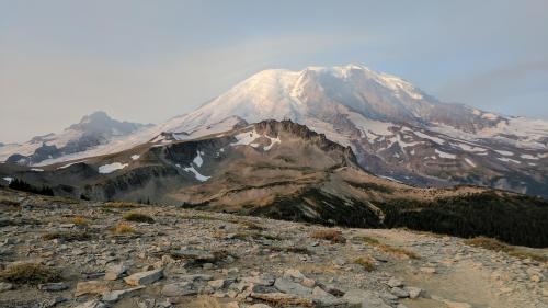
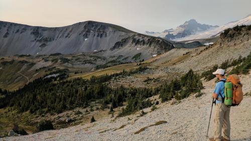
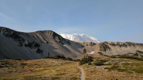
The final day of a long hike is often bittersweet. The prospect of having a nice shower and meal is attractive, but the return to the real world looms over you like a spectre. Our route for the day started with a gorgeous walk through alpine forests to meadows at Skyscraper Pass. Then we descended into Berkeley Park through a high valley surrounded by the higher peaks of Mt. Fremont and Skyscraper Peak. We contemplated whether we should take the Wonderland Trail down from Sunrise Visitor’s Center or make one last detour up and over Mt. Burroughs.
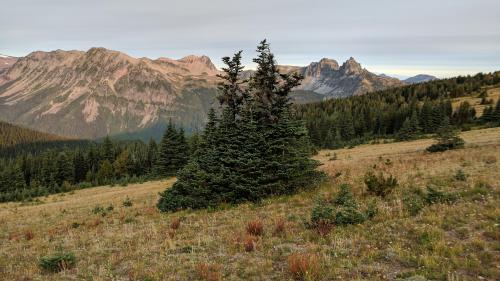
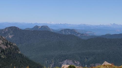
Grand Park in the distance (and Glacier Peak!)
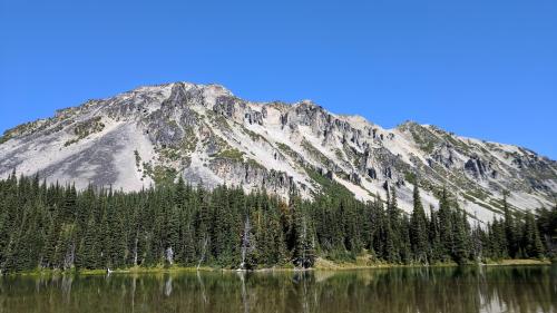
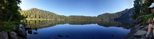
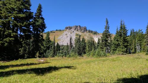
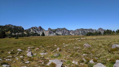
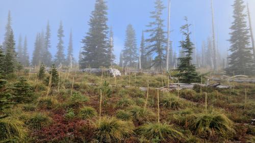
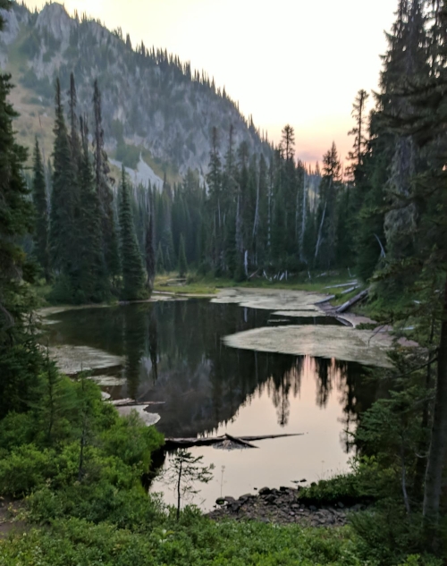
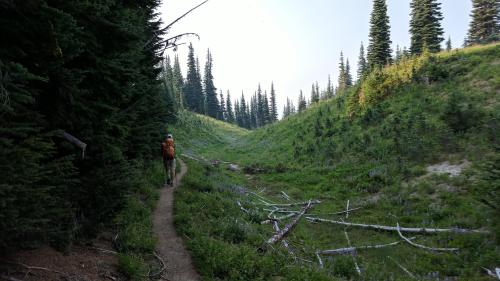
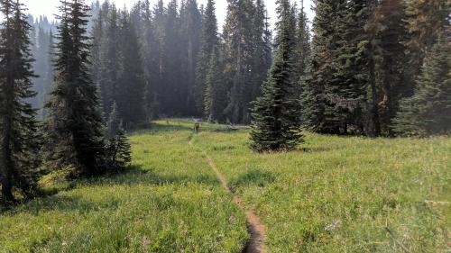
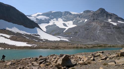
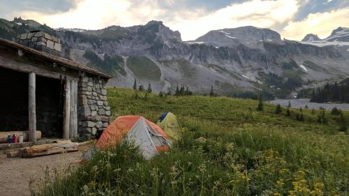
Berkeley Park
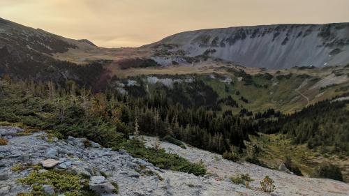
Berkeley Park
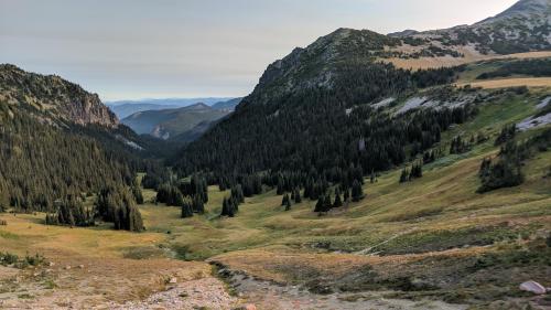
Berkeley Park
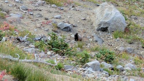
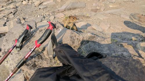
Marmot!
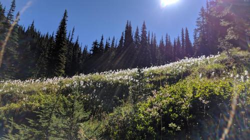
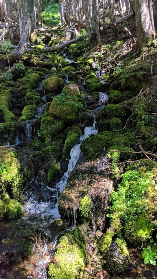
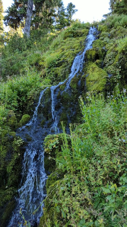
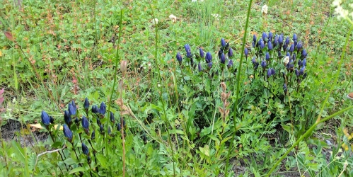
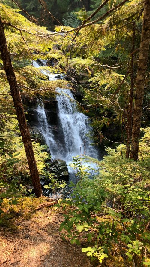
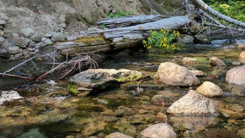
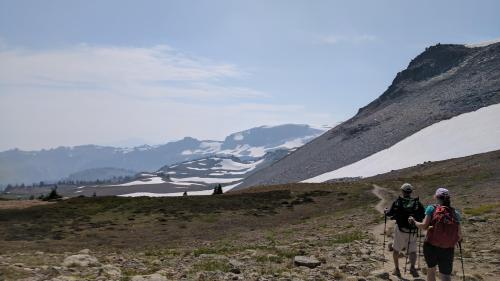
The weather was very pleasant, lots of sunshine and light breezes. We could also see more smoke moving in creating a thin haze in the atmosphere. As we wandered through Berkeley Park, we saw abundant wildlife including several marmots. We saw our first dipper bathing in a small spring. Those are my favorite birds to see in the mountains. It’s always a treat to see a dipper.
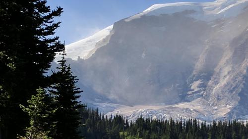
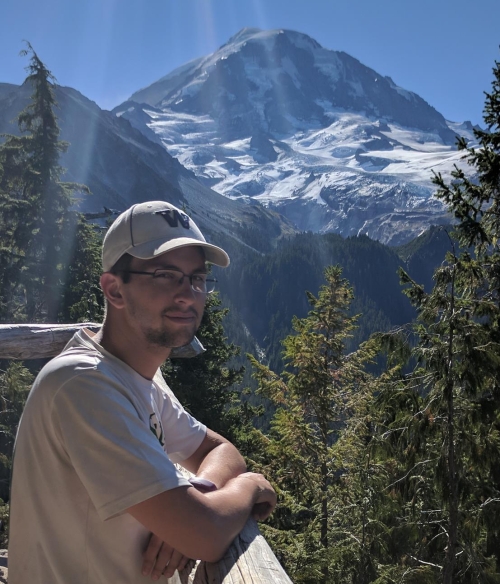
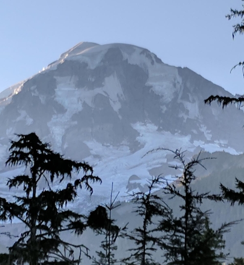
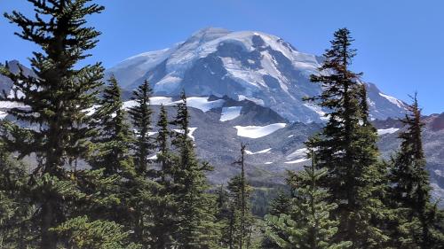
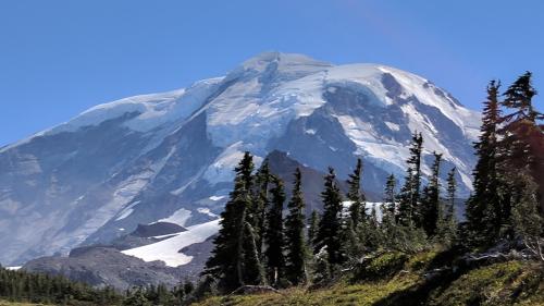
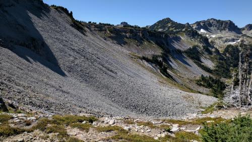
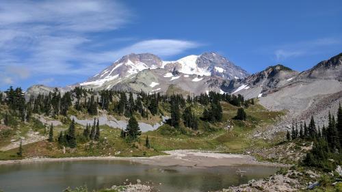
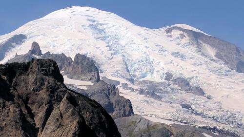
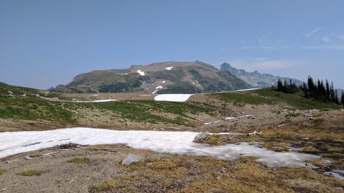
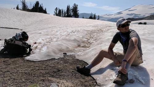
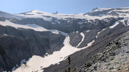
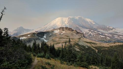
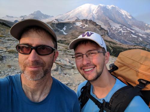
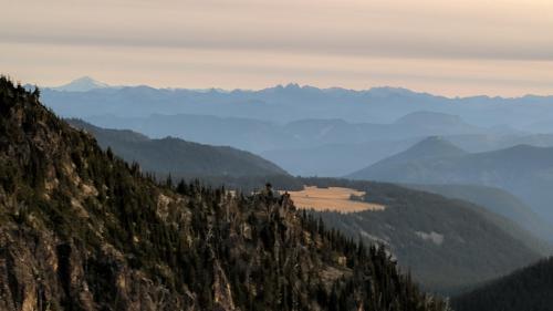
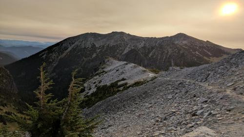
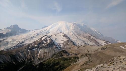
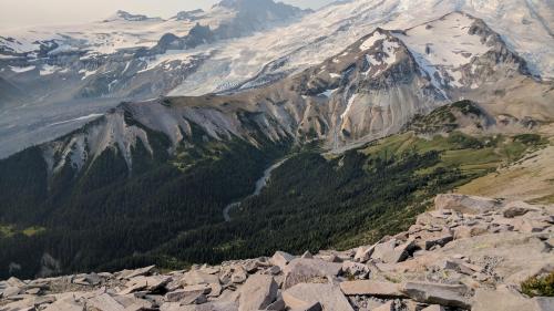
It was early when we got to the fork in the trail and Nathan agreed to go up Burroughs. It’s not that steep and the views of Rainier and the surroundings are impressive. When we got to the top of Second Burroughs, we had a snack and could see down the slope to a trail which seems to plunge off a cliff into Glacier Basin. The terrain in this area reminds me of the tundra in Rocky Mountain National Park, barren, rounded, and treeless.
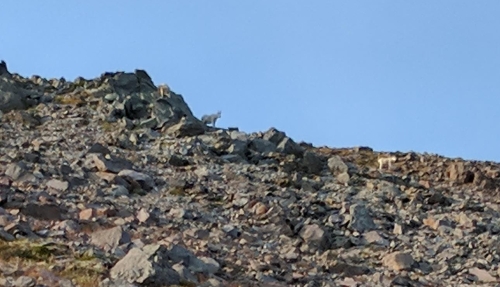
Mountain goats on First Burroughs
Steamboat Prow and Interglacier
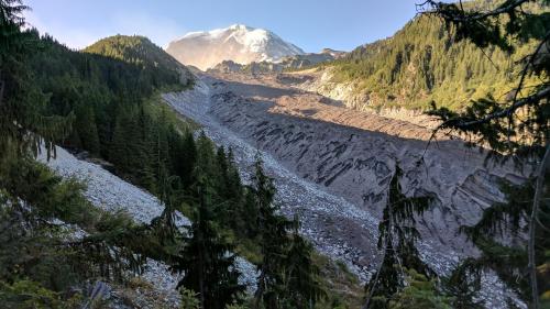
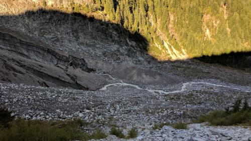
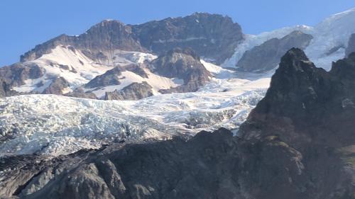
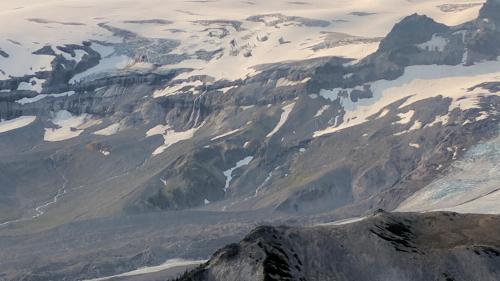
Glacier Basin and lower Emmons Glacier
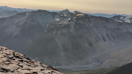
Goat Island Peak
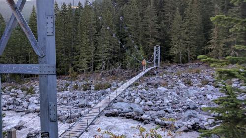
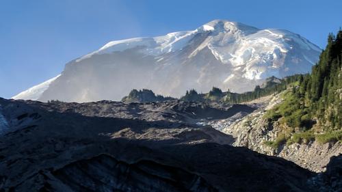
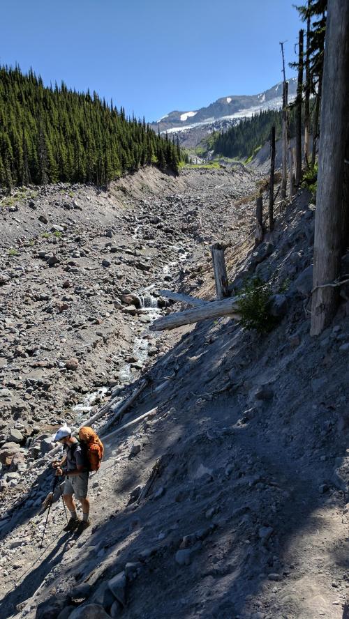
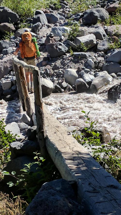
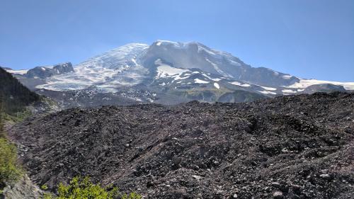
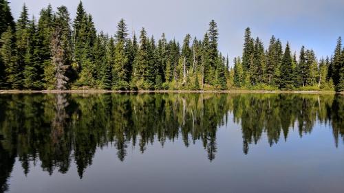
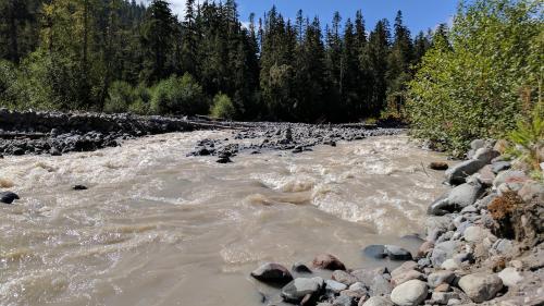
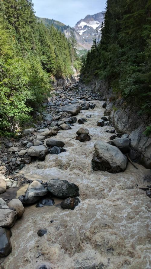
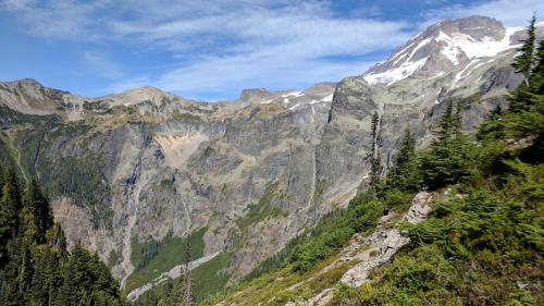
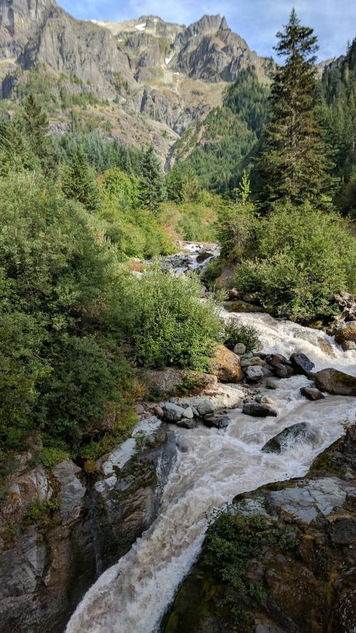
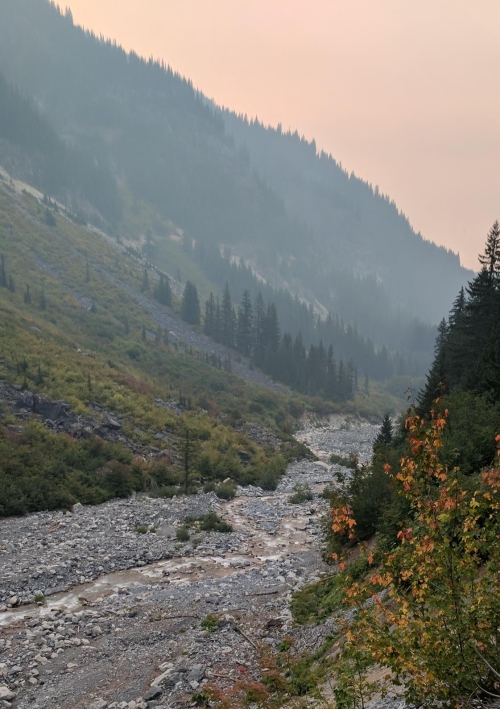
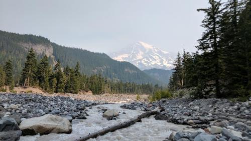
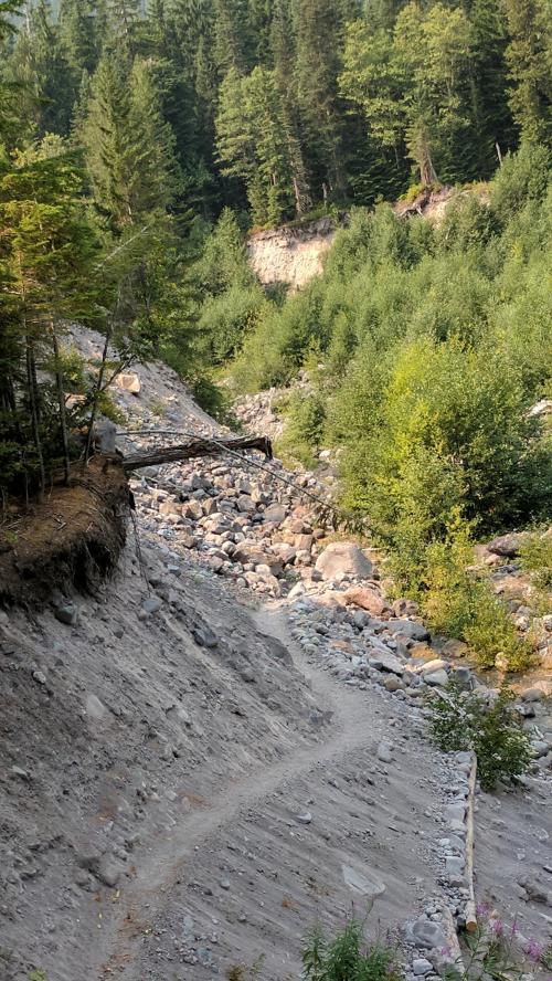
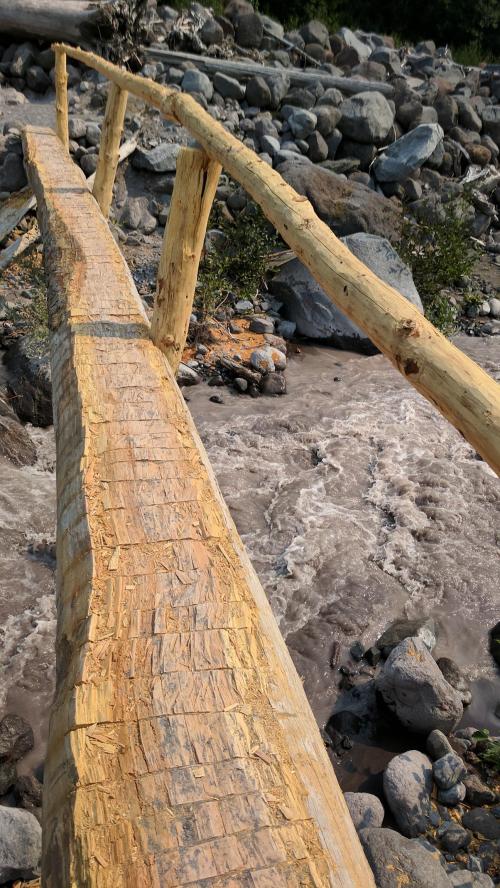
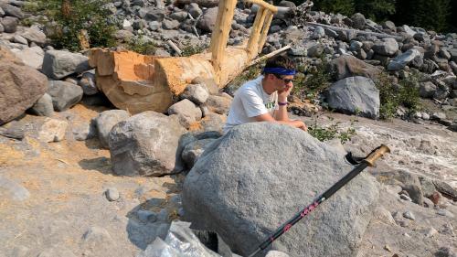
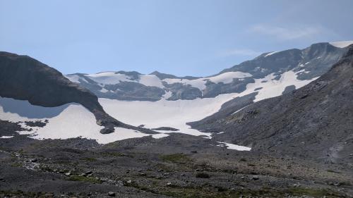
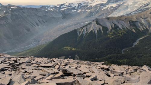
We transitioned from backcountry, to tourist front country, and back to wilderness again. The route to Glacier Basin is more like a mountaineer route, barely graded or switchbacked but it is open and quite scenic with views of Goat Island Peak, the Emmons Glacier, and Summerland. We could see the route upon which we had embarked only a week ago and it was very satisfying to feel the circuit completed.
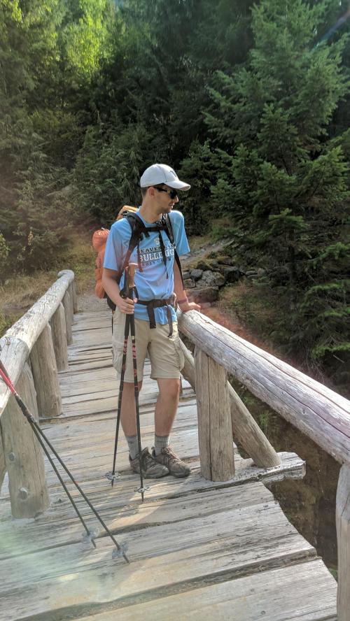
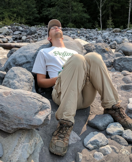
In the valley once again, tourist traffic increased and reached a steady stream as we plodded along the several miles back to the car. Nathan seemed to pick up speed as we walked and my muscles were screaming from the fatigue and strain of the previous days and I had trouble keeping his pace. We finally made it back to the cacaphony of the White River campground, the cars, the people, the junk and noise. We stashed our packs in the trunk and headed back down to the White River to soak our feet and wash off some of the trail dust. Our journey was complete.